Ask any experienced angler what separates a good fishing day from a frustrating one, and most won't say it's the lure, the line, or even the weather. It's where you put your bait in the first place.
Fish aren't distributed evenly across a lake or river — they're concentrated in specific spots dictated by structure, current, depth, and food. Learning to "read the water" — to look at a lake or river and identify where fish are likely holding before you ever make a cast — is one of the most valuable skills any angler can develop. The good news is that it's a skill, not a talent. It can be learned, and once it clicks, you'll start seeing productive water everywhere.
Before getting into specific features, it helps to understand why fish hold where they do. In nearly all cases, fish are positioned according to three needs: food, safety, and comfort (in terms of oxygen, temperature, and current).
Structure and cover satisfy all three at once. A submerged rock pile gives a smallmouth bass a place to ambush crayfish (food), hide from predators and bright sun (safety), and sit out of the main current (comfort) — all in the same spot. Once you start evaluating water through this lens, the question "where are the fish?" becomes "where do all three of these things overlap?"
A point is any spot where land juts out into the water, and points are some of the most consistently productive structures on any lake. The key thing beginners often miss is that what you see above the surface is only part of the story — an underwater point typically extends much further than its visible counterpart.
Points act as highways. Fish use them to move between deep water, where they rest, and shallow water, where they feed — particularly during low-light periods in early morning and evening. When fishing a point, fan your casts around the entire tip to cover the area where fish are most likely traveling or holding.
A drop-off is simply where the bottom transitions from shallow to deep — sometimes gradually, sometimes in a sharp ledge. These transition zones are prime staging areas, because fish can sit in deeper, cooler, safer water and move up onto the shallow shelf to feed when conditions are right.
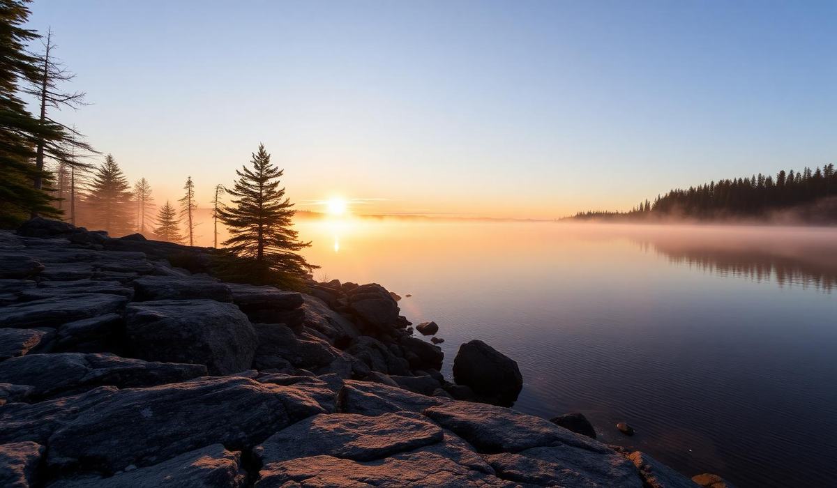
You can often spot drop-offs visually in clear water by watching for a change in water colour. On Ontario's Canadian Shield lakes, drop-offs are frequently associated with rock — a shoreline of exposed granite often continues underwater as a sloping rock face, classic walleye and lake trout territory.
Weeds provide cover, oxygen, and habitat for the insects and baitfish that game fish eat — making weed beds one of the most reliable types of holding water in any lake, particularly for bass and pike. The outside edge of a weed bed — where the vegetation meets open water — is often more productive than the middle of the weeds themselves.
In Ontario, weed growth typically increases through the summer, and by July and August, weed lines along the deeper edges of bays become some of the most productive water available, especially for largemouth bass and northern pike.
Wind pushes surface plankton and baitfish toward whichever shoreline it's blowing into, and predator fish follow that food. If you're struggling to find active fish, check which shoreline the wind has been hitting for the last few hours — and go fish it.
Where a stream or creek enters a lake, you get a concentration of oxygen, often a slightly different water temperature, and a steady supply of food being washed in from upstream. In early spring, these areas are magnets for fish moving toward spawning grounds. In summer, if the inflow is cooler than the main lake — common with spring-fed creeks in Shield country — these spots become cold-water refuges.
Rivers add another dimension: current. Fish expend energy fighting current, so they look for places where the current slows while food continues drifting past. A rock, log, bridge piling, or any obstruction creates a "soft" pocket of slower water immediately behind it — an eddy — where a fish can sit with minimal effort.
A seam is the line where fast water meets slow water — for example, where the main current of a river runs alongside a slower side channel or eddy. Seams are prime real estate because they let a fish sit in the slower water while food from the faster current funnels past within easy reach. Many experienced river anglers target seams first when approaching new water.
Rivers naturally break down into three repeating water types. Riffles are the shallow, fast, choppy sections — they oxygenate the water and produce a lot of the insect life that feeds trout. Runs are the moderate-paced stretches between riffles and pools, often holding fish along their edges and seams. Pools are the deep, slow sections where fish rest.
A simple rule for beginners: target the transition zones between these water types — the tail of a pool spilling into a riffle, or the head of a pool where a riffle slows down. Undercut banks — shaded, deep pockets of water tucked under an eroded bank — are also prime holding water for larger bass and trout. Cast tight to the bank and be ready for a strike the moment your lure lands.
- Look for cover first — weed beds, rock piles, fallen trees, docks
- Look for depth changes second — points, drop-offs, underwater ledges
- Combine the two — overlap zones (a weed line on a drop-off) are disproportionately productive
- Factor in conditions — wind, time of day, water temperature, recent weather
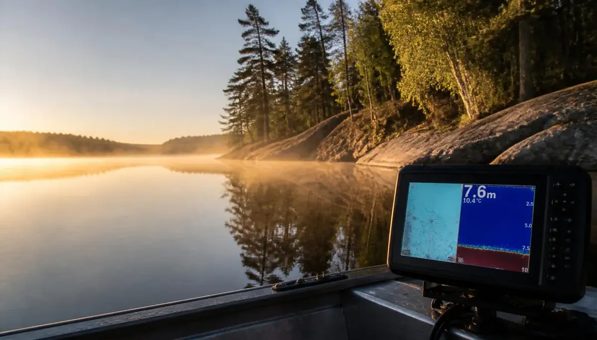
It's tempting to think that reading water requires a high-end sonar unit, and while electronics can certainly help, most of what's described here can be identified with nothing more than your eyes, a map, and some practice. Topographic lake maps — widely available for Ontario lakes through the Ministry of Natural Resources' Fish ON-Line tool — are an excellent way to study a lake's underwater contours before you launch.
Reading water well doesn't guarantee a fish on every cast — nothing does. But it dramatically improves your odds. A lake stops being a flat sheet of water and starts being a landscape — with roads, neighbourhoods, and hiding spots, all just below the surface. Once you start seeing it that way, you'll never look at a shoreline the same way again.
Topic Hub
Bass Fishing Ontario
Everything you need on this topic
Related Articles
Species Guides
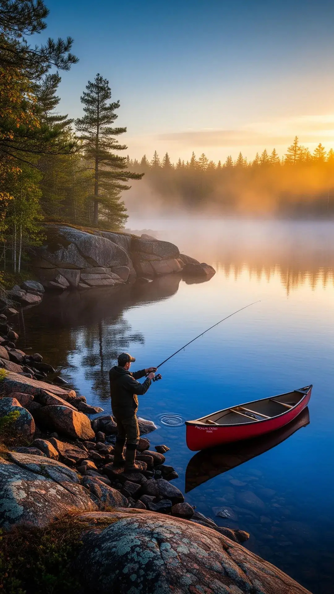
Finding More Fish in Ontario by Reading Structure
Points, drop-offs, weed lines, rock and wood — how to fish the small percentage of a lake that actually holds fish.
Fishing Spots
Fishing Ontario's Provincial Parks: A Province-Wide Guide to Casting in Protected Waters
From Algonquin's brook trout to Wabakimi's walleye — how to fish Ontario's best-protected, least-pressured waters.
Gear Reviews
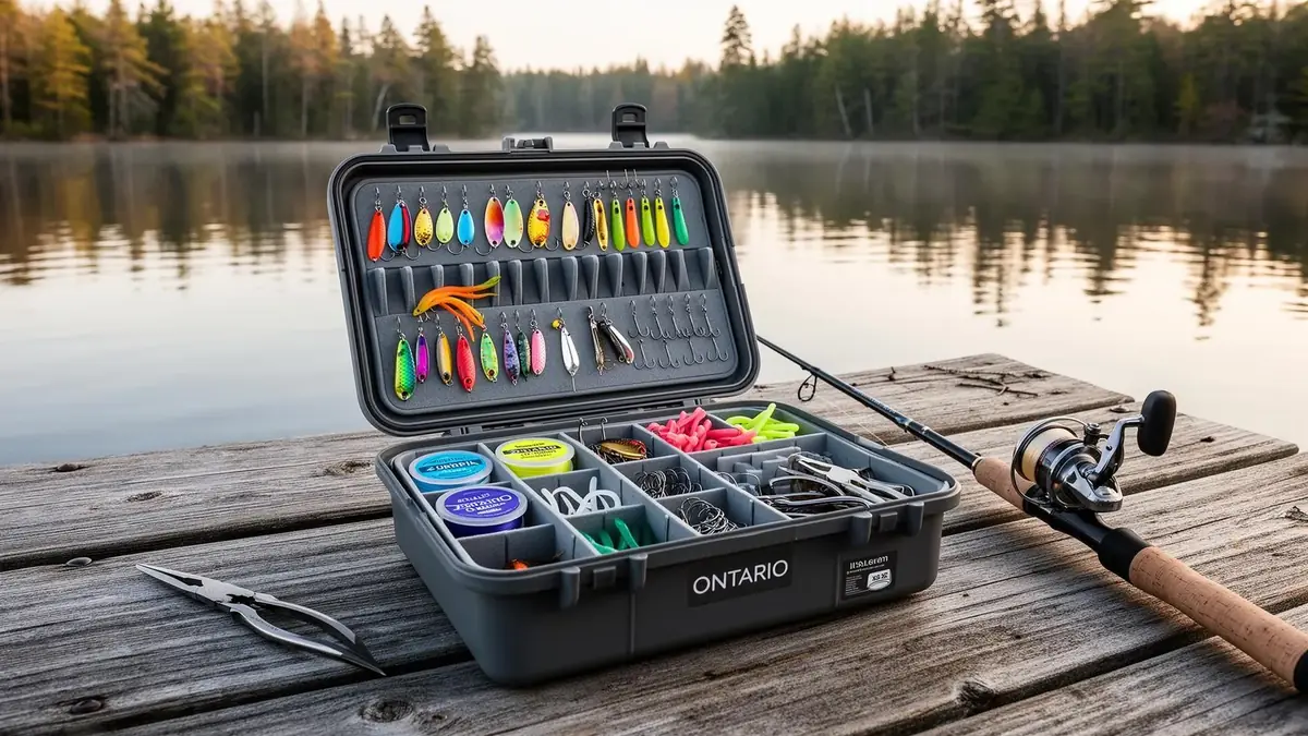
The Ultimate Ontario Tackle Box Checklist
A practical, Ontario-focused list of the rods, lines, hooks, lures, and tools that actually belong in your box — and why.