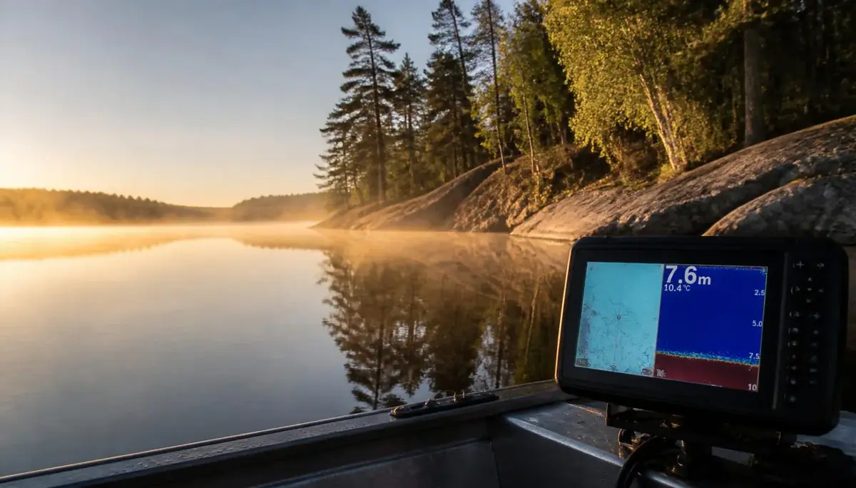
Ask any seasoned Ontario guide what separates a five-fish day from a fifty-fish day, and the answer rarely involves a secret lure. It's structure. Fish don't scatter randomly across a lake — they relate to specific physical features that offer food, cover, and a comfortable spot to ambush prey. Learn to read that structure, and you stop fishing the whole lake and start fishing the small percentage of it that actually holds fish.
The most productive anglers on any lake aren't just better casters — they're better students, spending time studying the water before they ever back the trailer down the ramp, finding the points, drop-offs, channel swings, and offshore humps that will hold fish before anyone else finds them. A topographic or contour map is the cheapest piece of "equipment" in your boat, and it does more work than half your tackle box.
Contour lines packed tightly together mean the bottom is falling away steeply — a bluff wall, sharp ledge, or near-vertical drop-off. Lines spread far apart mean a gradual slope: a flat, a tapering point, or a long, gentle bank. That's the entire foundation of reading a map. Everything else builds on it. One caveat worth remembering on Ontario's reservoir-fed and water-level-managed systems: contour lines reflect normal pool level, so if a lake is running high or low, every depth on the map needs to be mentally adjusted — or corrected automatically if your electronics support a pool offset.
A point is rarely just what you see above the surface. An underwater point extends further than the visible land feature — a point that visually juts twenty feet into the lake may extend fifty feet underwater, and the tip of that submerged point is where fish concentrate.
Points function as travel corridors between deep water and shallow feeding flats, which is why walleye and bass repeatedly relate to the same ones, season after season.
A drop-off — the transition zone where shallow water gradually changes to deep — is where fish stage, with bass and walleye often cruising the edge. The steeper the drop, the more precisely fish relate to that edge.
On your electronics, drop-offs and ledges appear as dramatic changes in bottom depth, and they're among the most productive structures to fish because they concentrate fish by providing ambush points for predators and shelter for prey.
If there's one piece of structure every Ontario angler should master, it's the weed line. The outside edge of aquatic vegetation is one of the most reliable fish-holding features in a lake — predators ambush baitfish in the cover, baitfish are there for the food the vegetation provides, and fish tend to position themselves parallel to that outside edge.
This holds true across species. Largemouth bass like to hide in weeds and ambush their prey, so working a lure near the edges or into openings is often the most productive presentation. Not all vegetation is equal, either — different fish species have varying habitat preferences, and certain weed species hold dramatically more fish than others.
Smallmouth bass, so common across Ontario's Canadian Shield lakes, key in on a different type of structure entirely. Smallmouth prefer cool, clear water and rocky and sandy areas of lakes and rivers — look for rocky points, shoals, drop-offs, and submerged logs, and fish deeper during the hotter parts of summer.
Submerged timber deserves special attention on lakes with a flooding or logging history. Submerged trees, fallen logs, and brush piles hold bass and pike, and old lake maps sometimes show where timber was left behind — those spots are worth investigating. On sonar, fallen trees show a characteristic branching pattern, rock piles create a jagged, irregular bottom profile, and humps or underwater islands appear as raised areas on the bottom contour, often surrounded by deeper water.
Not every angler runs sonar, and structure isn't only found underwater. Each body of water has a variety of structure types fish use at any given time — rocks, weed beds, drop-offs, wood piles, and docks among the most common — and fish gather near structures that provide both cover and an ambush opportunity.
Surface clues matter too: jumping fish or rippling water on the surface are signs of fish activity that point toward productive areas, even before a line goes in.
Structure reading isn't about memorizing a single hot spot — it's a habit. Lake depth and structure can shift with the season, water levels, and weather, so updating your maps and sonar readings regularly keeps that picture accurate. Combine a contour map, a pair of polarized sunglasses to spot weed lines and rock from the boat, and a fish finder to confirm what's actually holding beneath the surface, and you've replaced guesswork with a genuine pattern — the same one local guides quietly rely on to put clients on fish, trip after trip.
That's the real edge on Ontario water: not a better lure, but a better read.
Topic Hub
Bass Fishing Ontario
Everything you need on this topic
Related Articles
Species Guides
Reading Water for Beginners: How to Find Fish Before You Cast
Learn to spot points, drop-offs, weed lines, current seams and undercut banks — so you put your bait where fish actually are.
Species Guides
Gone Quiet: Why Ontario's Fish Stop Biting
For anglers across the province, the silent line is one of fishing's great mysteries — but science has answers
Species Guides
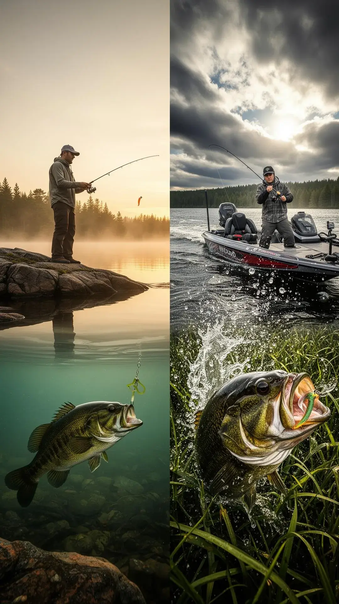
Read the Water, Then Read the Fish: Finesse vs. Power Fishing in Ontario
Both approaches catch fish. The skill lies in reading conditions — clarity, pressure, weather, mood — and knowing which one fits the day in front of you.
Species Guides
Hooked Ontario: The Ultimate Angler's Field Guide
A Professional Manual for Species Identification, Strategy, and Technical Success